--The BEST Outdoor INFORMATION in the Southeast!--
# 2 - Goose Creek Trail
Rated: Easy
2.5 miles of trail, can be out-and-back
walk or variety of distances
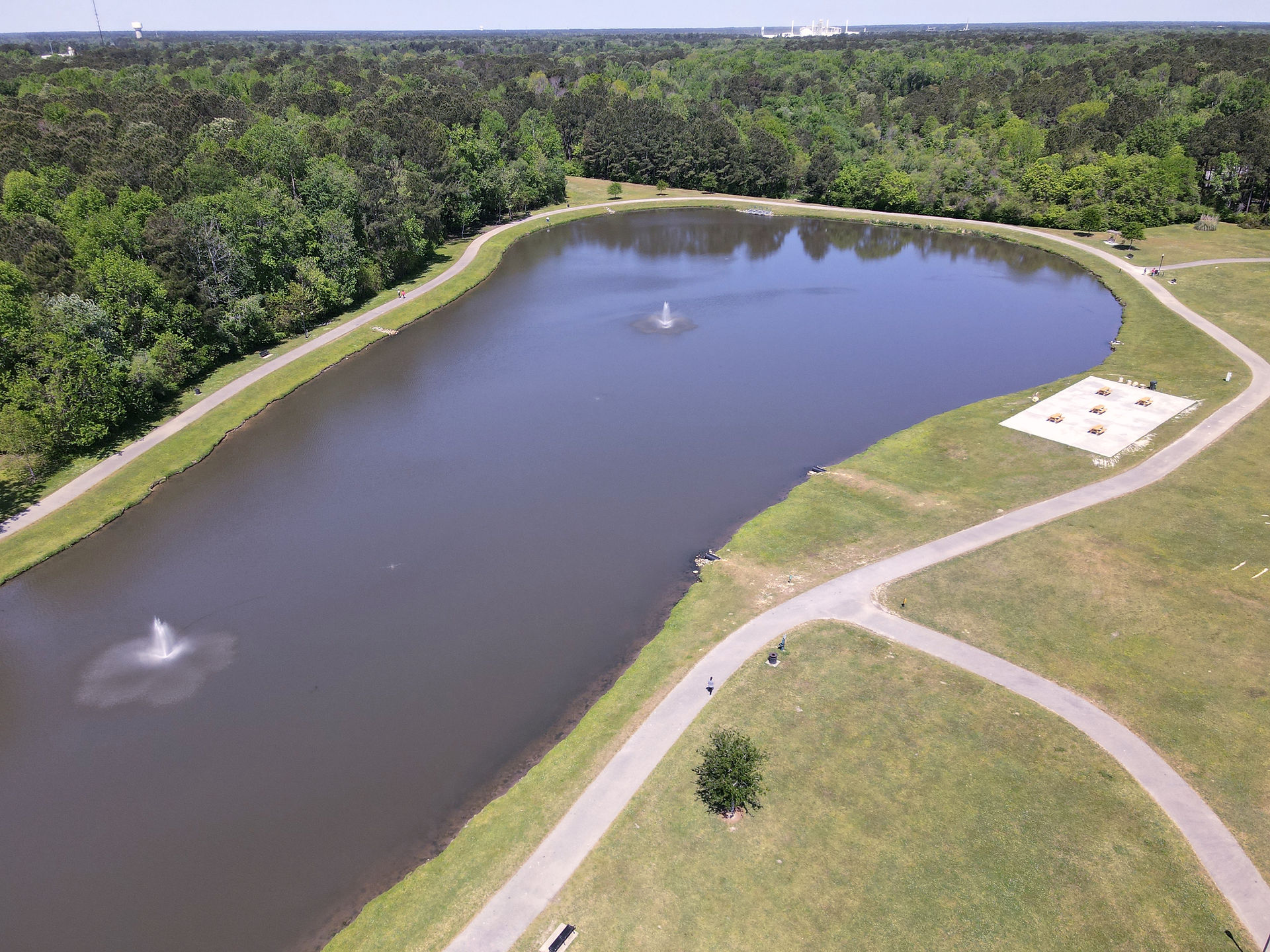
The Goose Creek Trail is a smooth concrete path
that circumnavigates the tranquil pond behind the
town's municipal center, and extends 1.4 miles
paralleling HWY-52. It's wide enough for several
people to walk side-by-side and is popular with
joggers, families with strollers and cyclists.
The pond area sees a variety of wading birds and
even the occasional large bird of prey.

Allowed
on leash


Yes


.jpg)
Difficulty: Easy.
Distance: 2.2 miles of trail, can be out-and-back walk, or variety of distances.
Time: Varies, 30 minutes to 2 hours.
Trail Surface: Smooth, wide concrete and asphalt path.
Stroller Friendly: Yes
Crowds: Moderate, you're likely to see others on the path.
Fees/Permits: None.
Restrooms: Yes. Restrooms are available in the City Hall Lobby, open Monday - Friday 8:00 am - 5:00 pm.
Precautions: You'll cross several roads when walking the HWY-52 section. Look both ways and yield to cars.
Most of this trail is in the full exposed sun. Wear a hat and sunscreen.
Parking: There is ample parking at the Marguerite H. Brown Municipal Center. 519 N Goose Creek Blvd., Goose Creek, SC 29445. 843-797-6220. https://www.cityofgoosecreek.com/recreation/facilities/hiking-and-biking-trails.
UPDATE JANUARY 2026: A new administrative building is being built and the parking area is significantly smaller. As soon as this is complete, new photos will be provided. Alternatively, you can park at the trail's southern terminus near Seewee Drive and HWY-52 (GPS: 33.007972, -80.037556).
GPS Coordinates Parking Lot: 33.027608, -80.035822 or 33°01'39.4"N 80°02'09.0"W
City of Goose Creek City Trail Map: Click HERE
Contacts: City of Goose Creek 843-797-6220.
So Much More History Nearby: Did you know Berkeley County has more than 110 historical markers and historical points of interest? CLICK HERE to find your Adventures in History!
Goose Creek Weather: Click HERE

.jpg)


